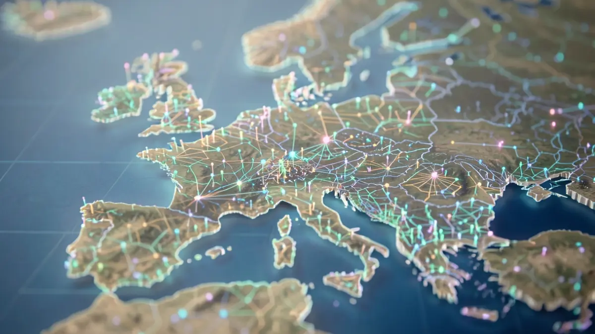
Every third Wednesday of November, the world celebrates GIS Day, dedicated to geographic information systems. This year's theme, 'GIS: Powering Purpose and Innovation,' underscores how maps have become essential tools for understanding and responding to global challenges, from climate change to infrastructure management and mobility.
In the face of climate change, exemplified by the 2021 floods in Wallonia, precise knowledge of risk zones and emergency routes is vital. Simultaneously, road managers must optimize the maintenance of aging networks with limited budgets. Evolving mobility patterns, with more cyclists, pedestrians, and connected vehicles, also demand tailored solutions.
GIS transforms raw data into useful information. When cross-referenced and mapped, data reveals insights such as road sections degrading faster, inaccessible sidewalks, or noisy areas near schools. Artificial intelligence, digital twins, and embedded sensors are multiplying available data, making the often-invisible work of geomatics crucial for organizing, verifying, and sharing this information.
Since 1952, the Road Research Centre (CRR) has supported the Belgian road sector. Much of its research, from road design to operation, has a geographic dimension. To make this information accessible, the CRR has developed a geoportail featuring interactive maps, a data catalog, and mapping services.
Through the RoadSense project, the CRR uses data from connected vehicles to continuously monitor the condition of the Walloon road network. A tool to simulate network evolution is also under development. For accessibility, objective measurements of sidewalk comfort are mapped for several municipalities and for Brussels Mobility, helping to identify obstacles.
Acoustic measurements of roads, mapped with pavement type and age, aid in selecting quieter solutions. The geoportail also lists authorized centers for sorting and recycling inert waste in Wallonia, along with suppliers of recycled sands, promoting sustainable construction. A common reference system integrates kilometer markers and benchmarks from Walloon and Flemish networks for precise location of worksites and incidents.
Working with geographic data requires humility and rigor. A road measurement is defined by its value, location, and date. The CRR continuously improves the documentation of its measurements, their accuracy, and corrections, through collaborative work with partners. GIS is fundamentally a human endeavor, uniting different professions around the map.