VUB researcher Robbe Neyns has developed an artificial intelligence system that can recognize tree species from satellite and aerial images with remarkable accuracy. This technology promises to help cities better map their trees and biodiversity, making urban environments more livable in the face of a warming climate.
Trees play vital roles in our cities: providing shade and cooling, filtering air, and serving as habitats and food sources for numerous animals. However, it's often difficult to know precisely which species are where. Existing inventories can be incomplete or outdated, and manually identifying thousands of trees on the ground is labor-intensive.
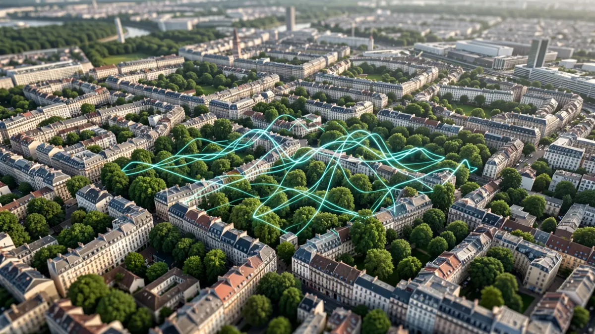
To address these challenges, Neyns investigated whether artificial intelligence could take over part of this work from the air. For the Brussels-Capital Region, he combined satellite images from different times of the year with highly detailed aerial photographs. Through 'deep learning', the system learns to distinguish various tree species.
« Recognizing a tree crown is one thing, but in a densely built city, crowns overlap, buildings cast shadows on the images, and you deal with different background materials,” says Neyns. By combining various types of imagery, the model gains sufficient information to differentiate species, as each has its own characteristics and follows a different cycle throughout the year. This results in a kind of digital tree expert that can help determine, on a large scale, which tree is located where.
Neyns then used this technology for ecological research. In Braunschweig, Germany, he mapped willows for research into Andrena vaga, a wild bee species heavily reliant on willows for its pollen. By combining the tree map with other environmental factors and observations of bee nests, it was possible to predict which urban locations provide a suitable habitat.
In a second application, he examined the health of urban trees themselves. Neyns linked information about tree species to urban heat, air pollution, and soil sealing. This allowed for an investigation into how these different forms of urban stress affect the annual growth cycle of various tree species.
This research demonstrates that satellites, aerial photos, and AI can do much more than just count how much green a city has. By also knowing the species involved, researchers can better understand which trees thrive where, how they respond to a changing climate, and what role they play for other species.
This is crucial information for cities aiming to plant more trees to protect against increasingly hot summers. “Cities that are now actively reforesting with climate change in mind face a choice: not just how many trees, but which species in which location,” says Neyns. “We hope to make this information more accessible with this technology.”
His PhD thesis is titled 'Beyond the Canopy: Deep Learning for Urban Tree Species Classification Applications in Pollinator Ecology and Tree Phenological Responses to Urban Stressors'. Robbe Neyns, who studied Geography at VUB and Artificial Intelligence at KU Leuven, began his doctorate at VUB in 2020. He received the Young Scientist Award for his research at the international EARSeL conference in 2024.